Aotea Track, Great Barrier Island
Călin / 17 September 2022
My first tramping (overnight camping and hiking) trip in Aoatearoa was the Aotea track on Great Barrier Island/Aotea. Anca and Victor decided they are not quite ready for camping in the wilderness, so I joined a group of colleagues and friends. One of them brought his two children, ages 7 and 10, and the kids had a blast and helped connect the group.
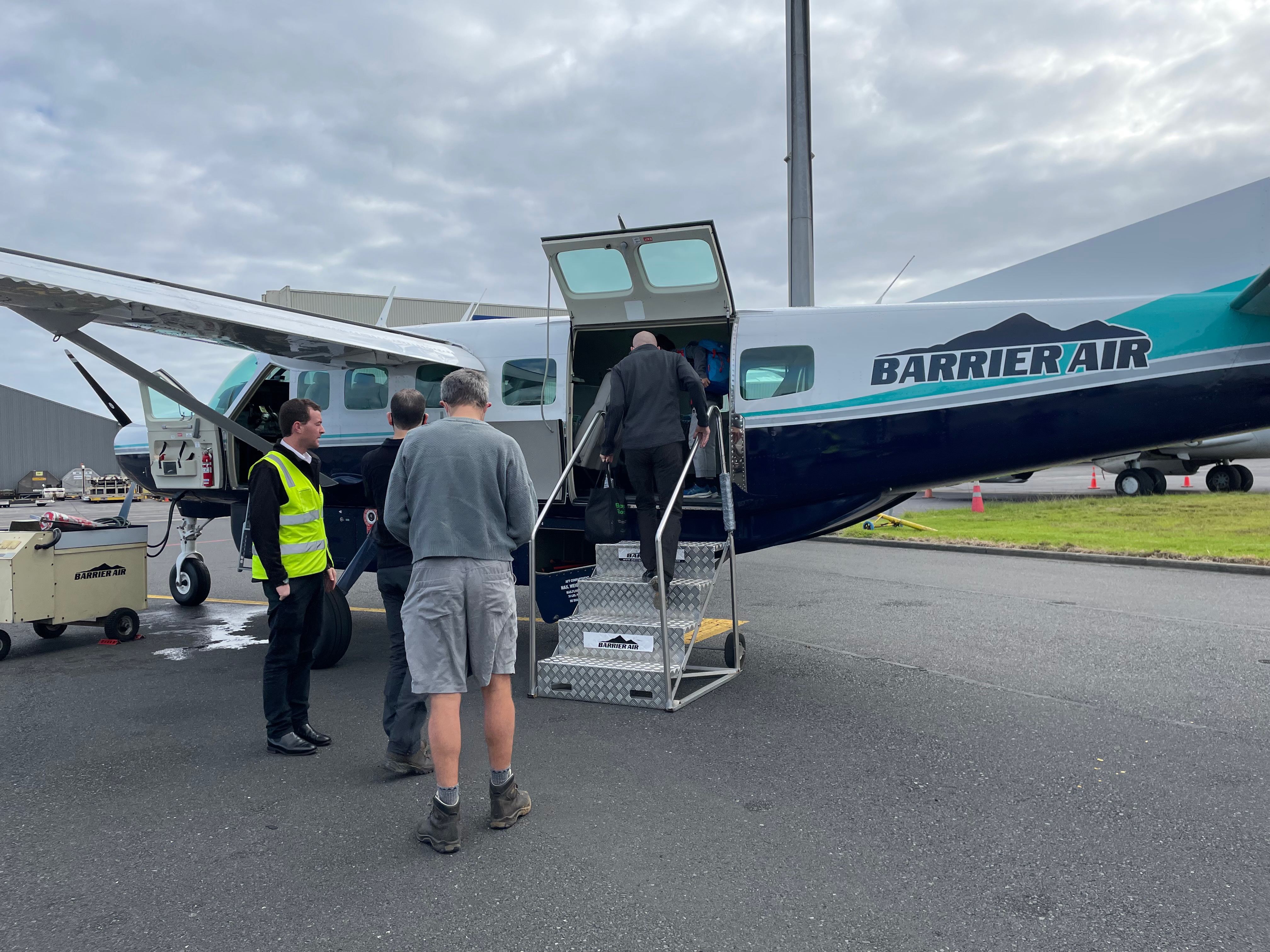
Aotea is an island at the edge of the Hauraki Gulf (the gulf that includes Auckland). It has a local population of 800-900 people, most of them driving 4x4 dirt-road vehicles. The driver of the shuttle we booked from the air strip to the track head told us they are looking for a butcher and milkman (or rather diary farm manager) because while there are the animals, they still need to bring the milk and meat from outside. I’m not quite ready for a career change on Aotea :), although the island is beautiful and peaceful!
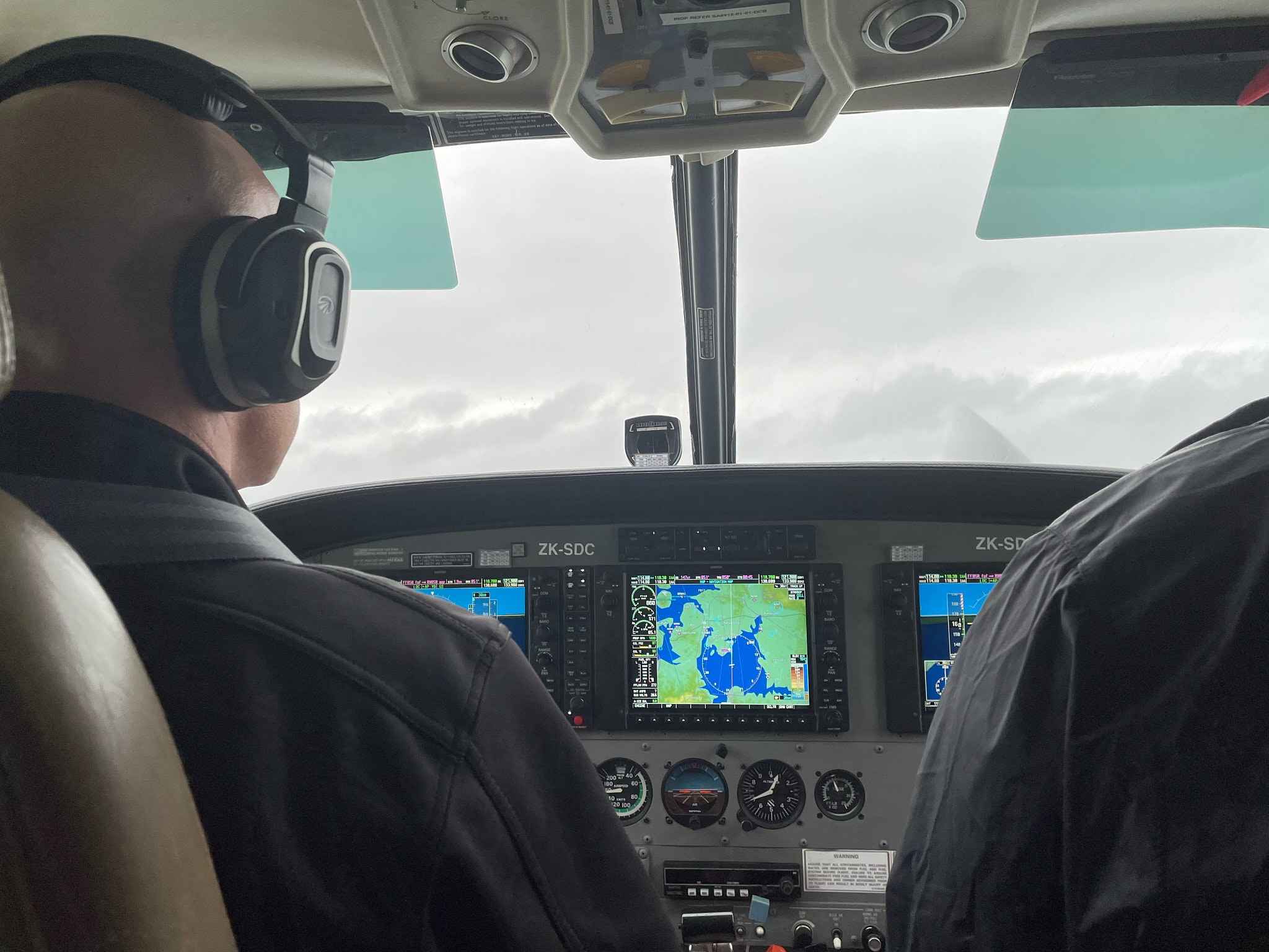
To get to Aotea, one can take a ferry (~5h) or fly (30min). We chose to fly, so bright and early Saturday morning we showed up to Auckland International and checked in for our Barrier Air flight. For this domestic flight, they didn’t even ask for our ids. Our plane, a Cessna 200A Grand Caravan, was not much larger than a van! Beautiful weather and sunshine made the flight a real pleasure.
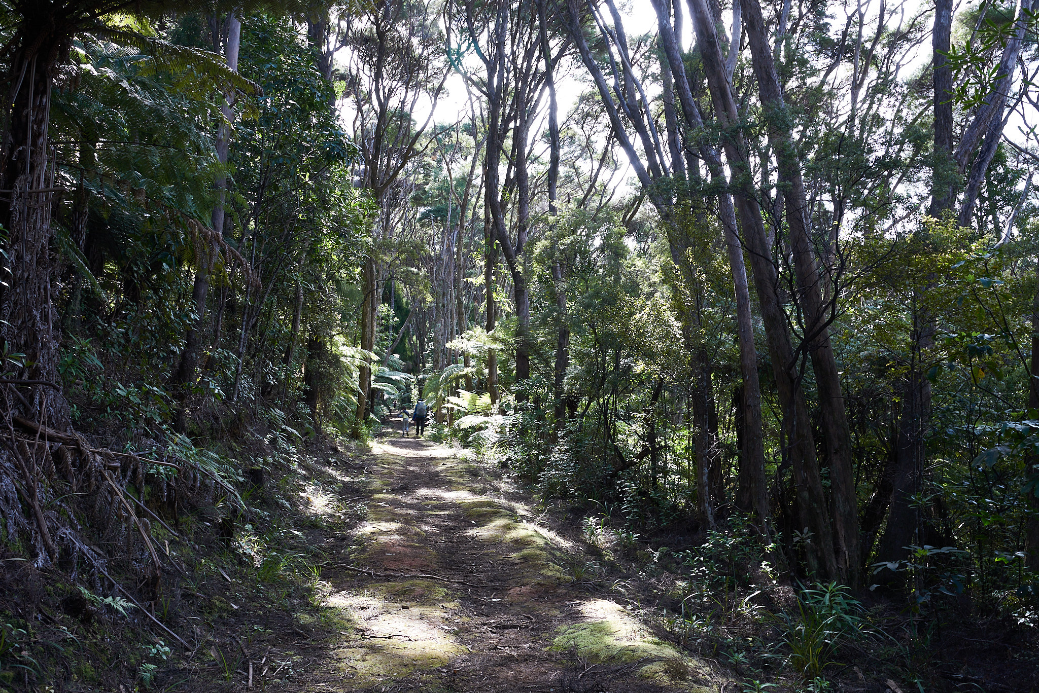
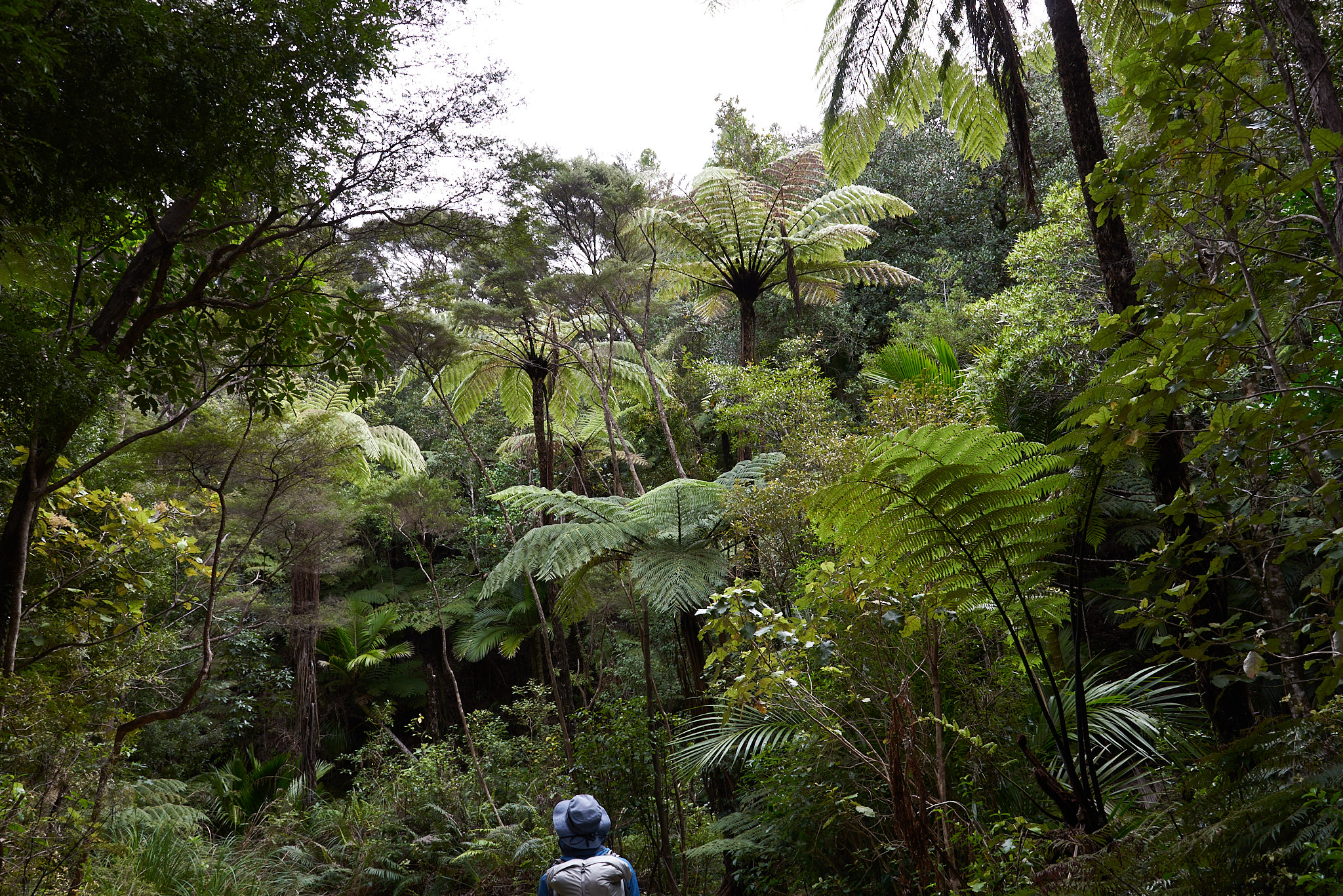
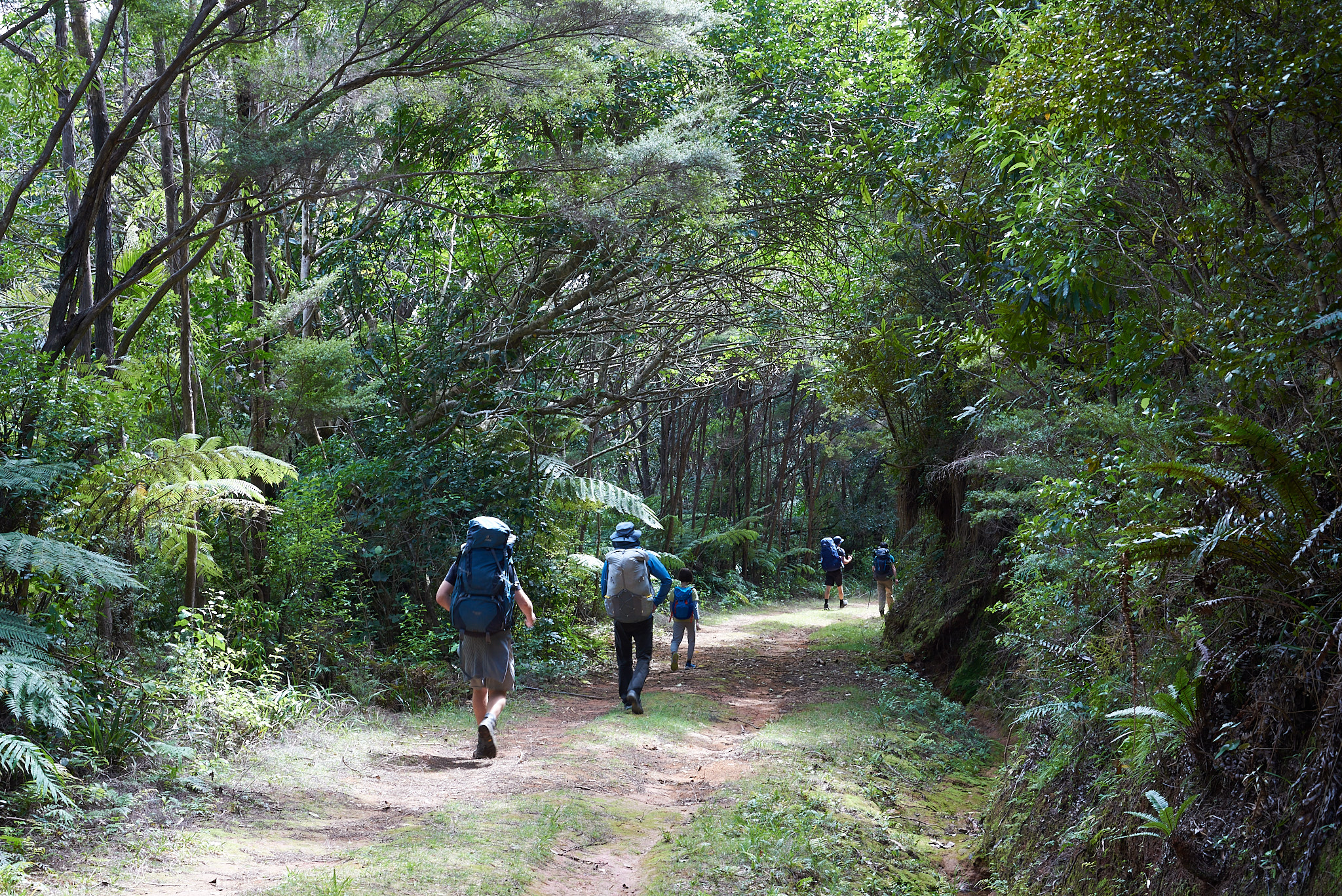
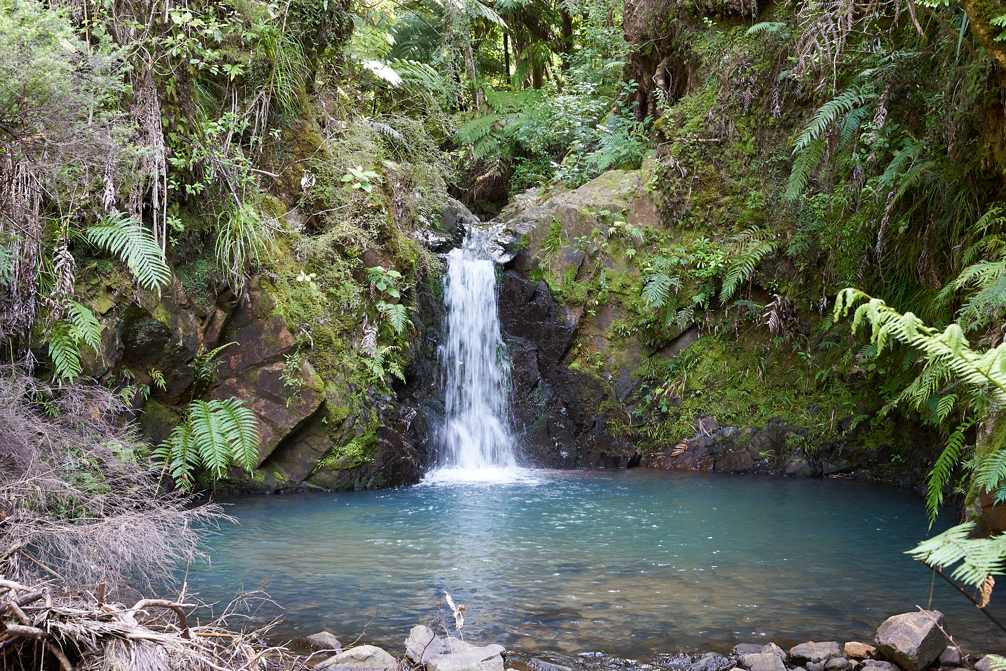
We did the track in the reverse from the Department of Conservation (DoC) recommendation, going first to Kaiaraara hut. The walk is mainly covered, the track winding through tropical vegetation: giant ferns, palm trees and kauri trees, and occasional waterfalls.
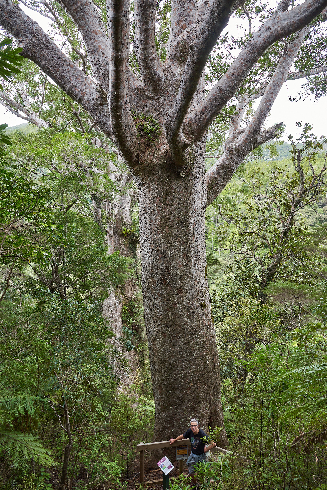
Kauri trees are impressive, growing to over 50 m tall, with trunk girths up to 16 m, and living for over 2,000 years. The size of mature trees compares to the sequoia. Kauri have been massively exploited in the 1700 and 1800, almost to the point of extinction. A few forests were declared sanctuaries and are now under the protection of the DoC. Recently though, kauri are threatened by kauri dieback, a fungus-type disease that has no known cure. DoC has setup stations to clean boots and make sure that tracks do not touch kauri roots.
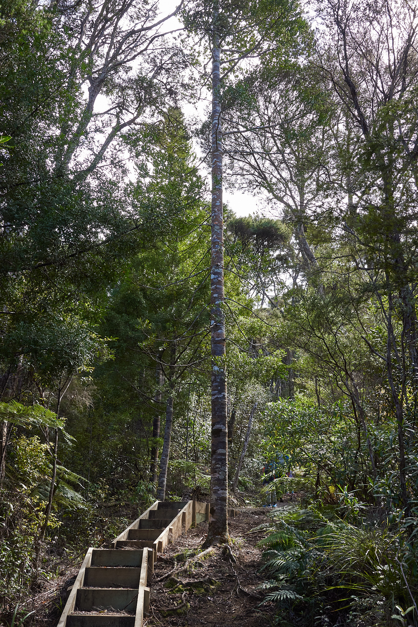
I also thought that the young kauri are beautiful: a straight soaring trunk with a bark that resembles a quilt.
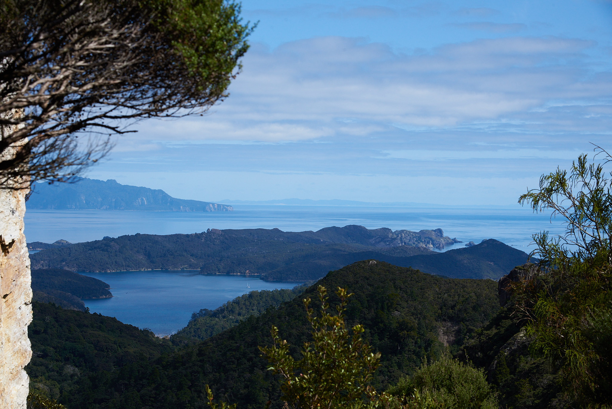
Our lunch spot had some very nice views.
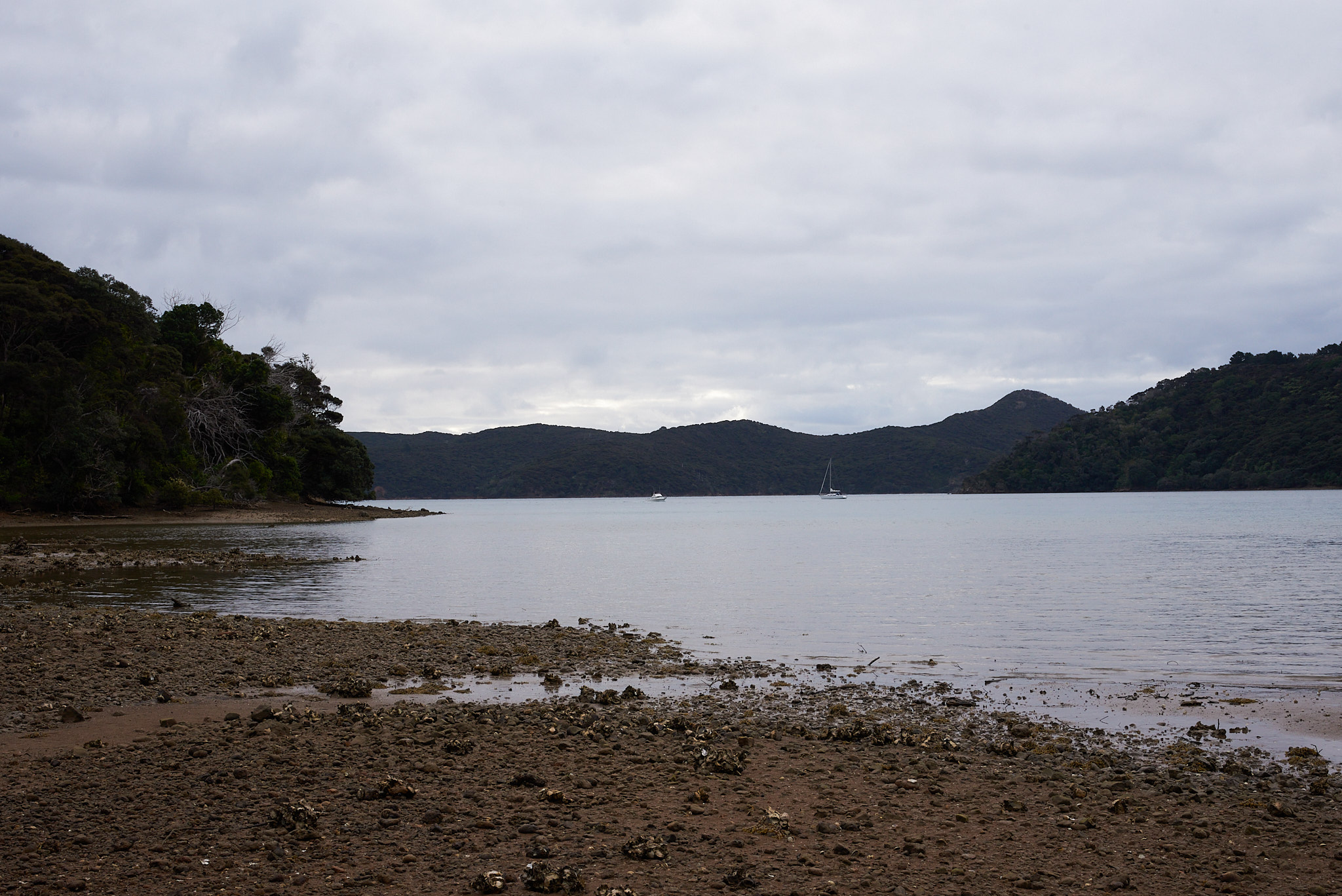
We got to the hut around 3pm, after a walk of about 4h. It was still early, so we did a side tour to Bush’s beach, before settling in and cooking our dinner.
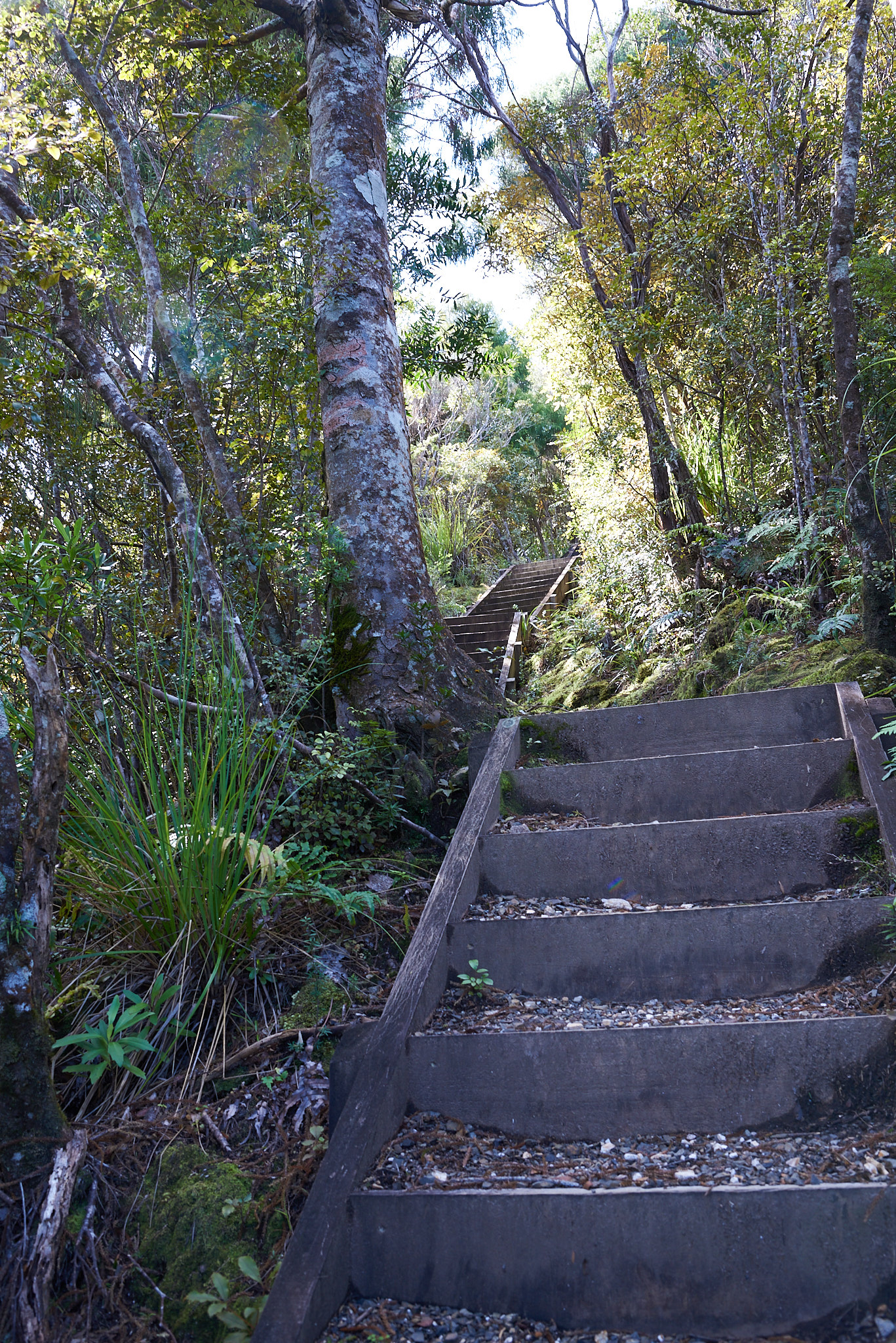
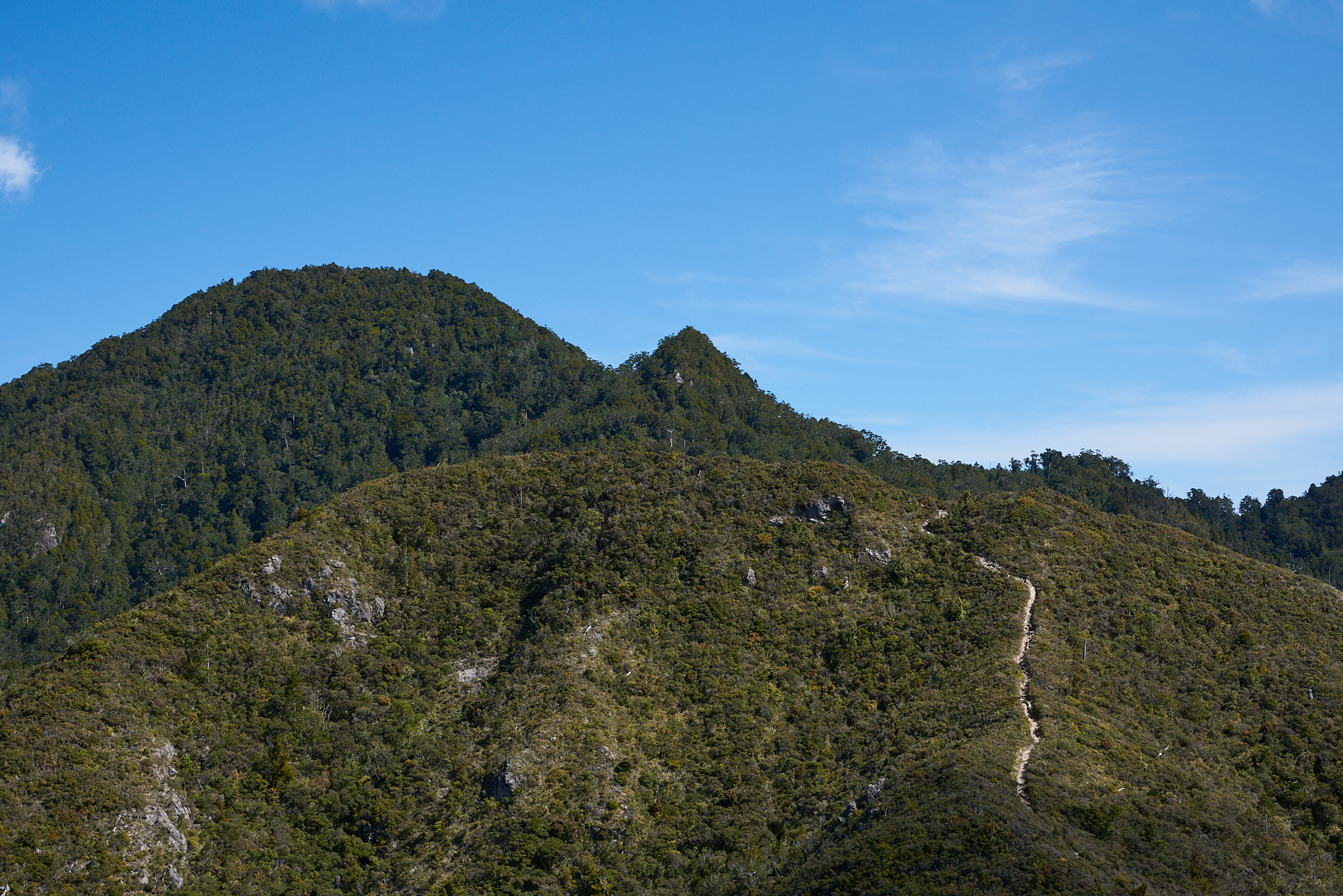
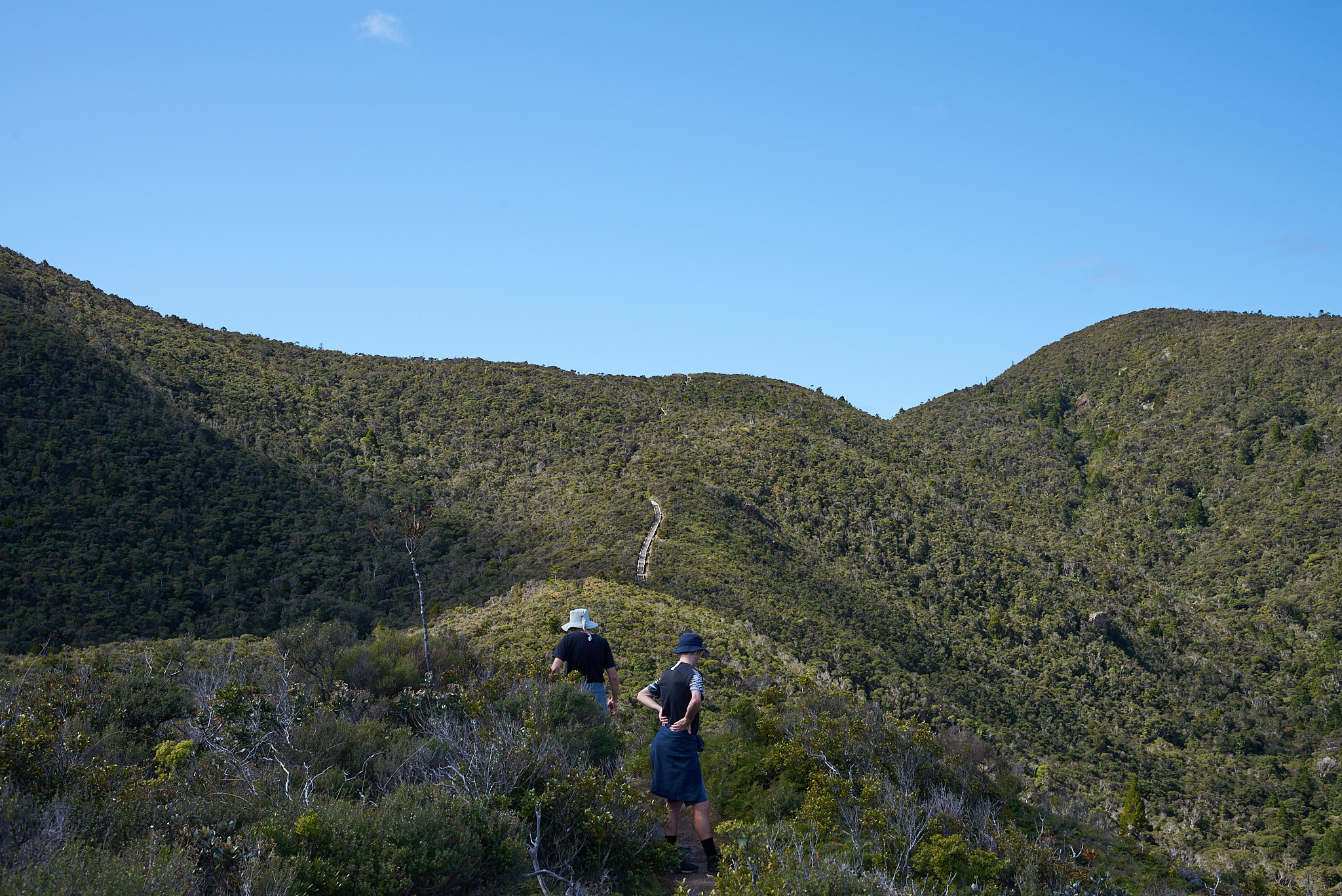
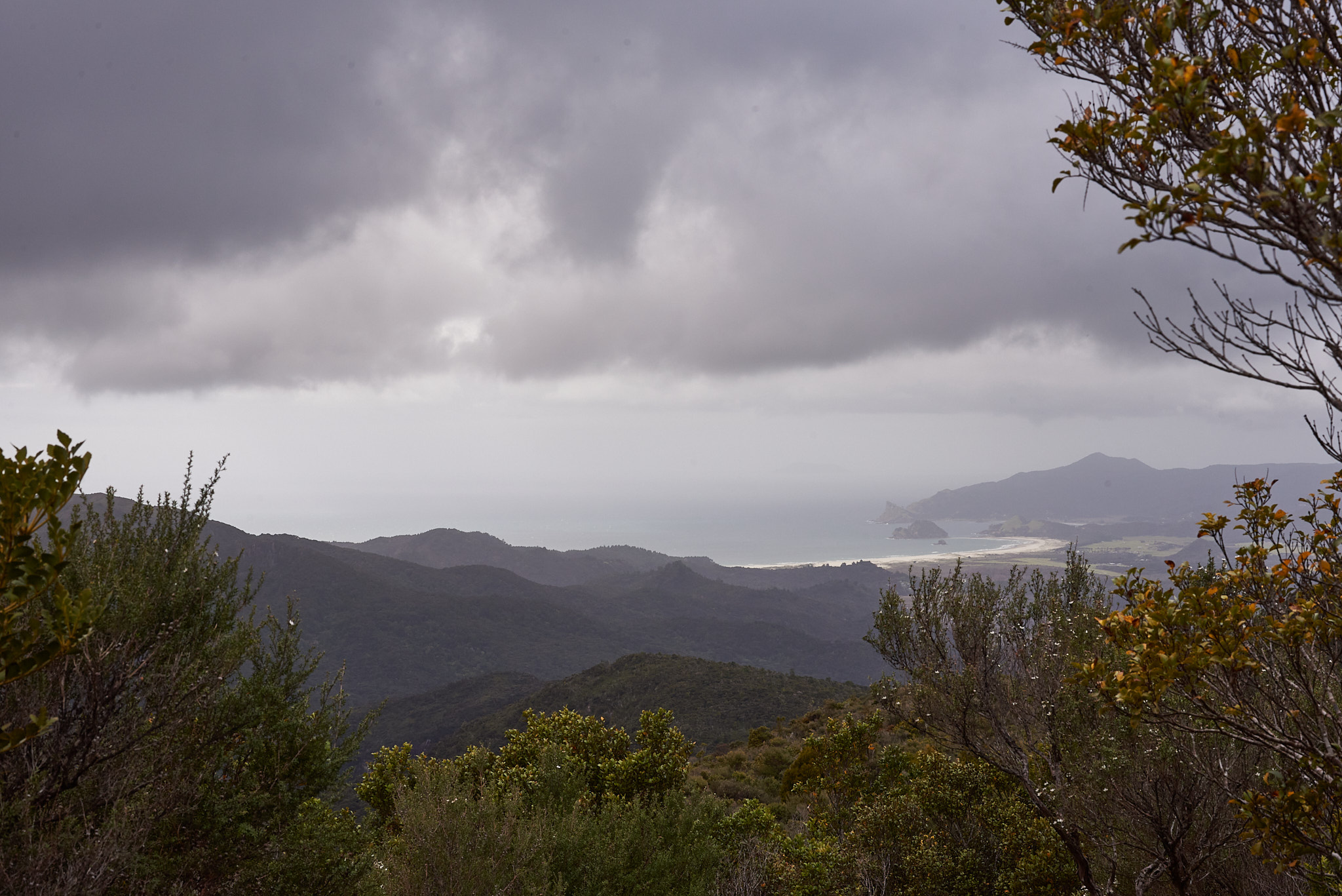
The next leg, from Kaiaraara hut to Mt Heale hut, included visiting the highest point of the island, Hirakimata (Mt. Hobson) at 627m altitude. Much of the way up is stairs, on an extremely well maintained track. The stairs are put in place to protect the kauri and the local fauna, in particular the black petrel.
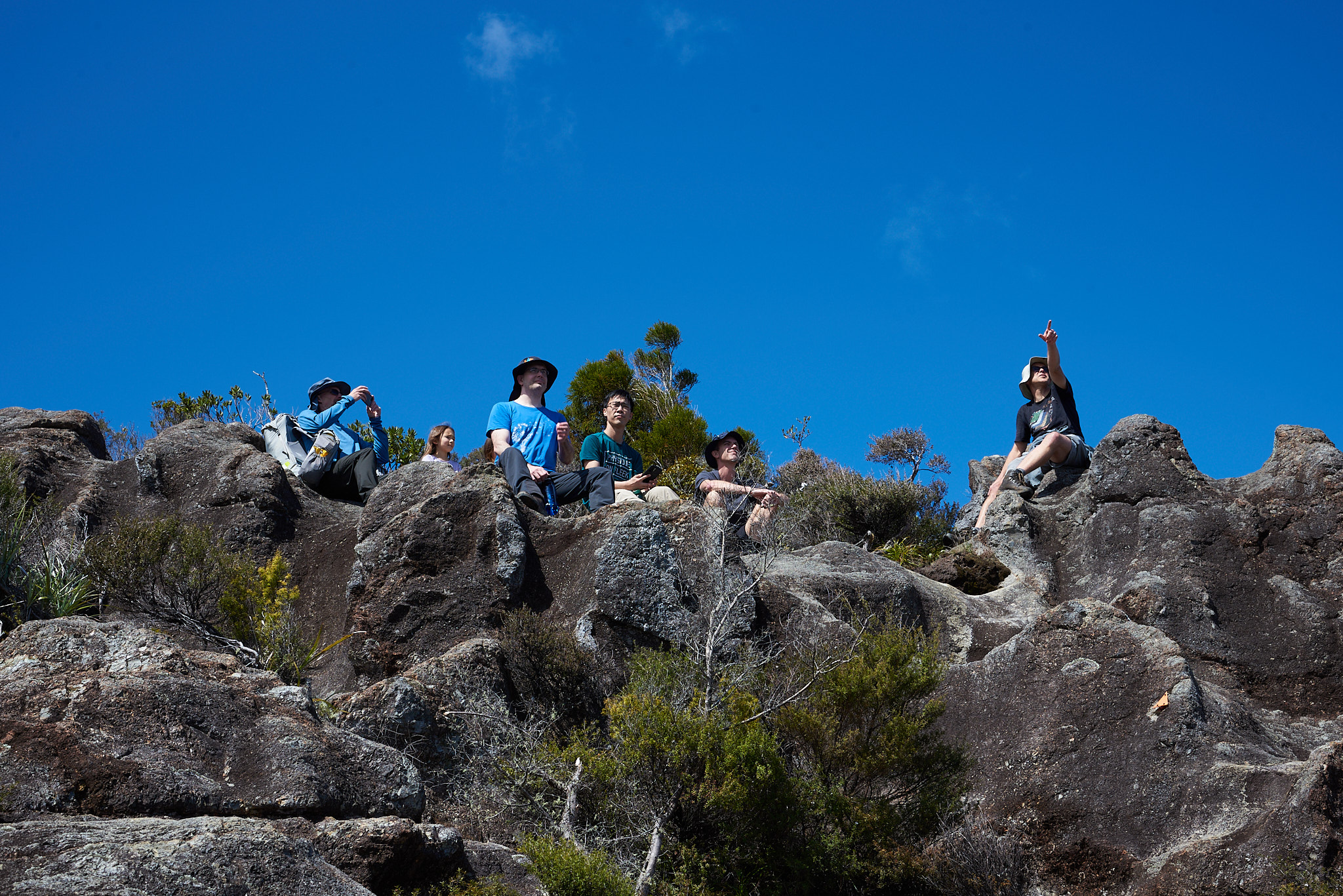
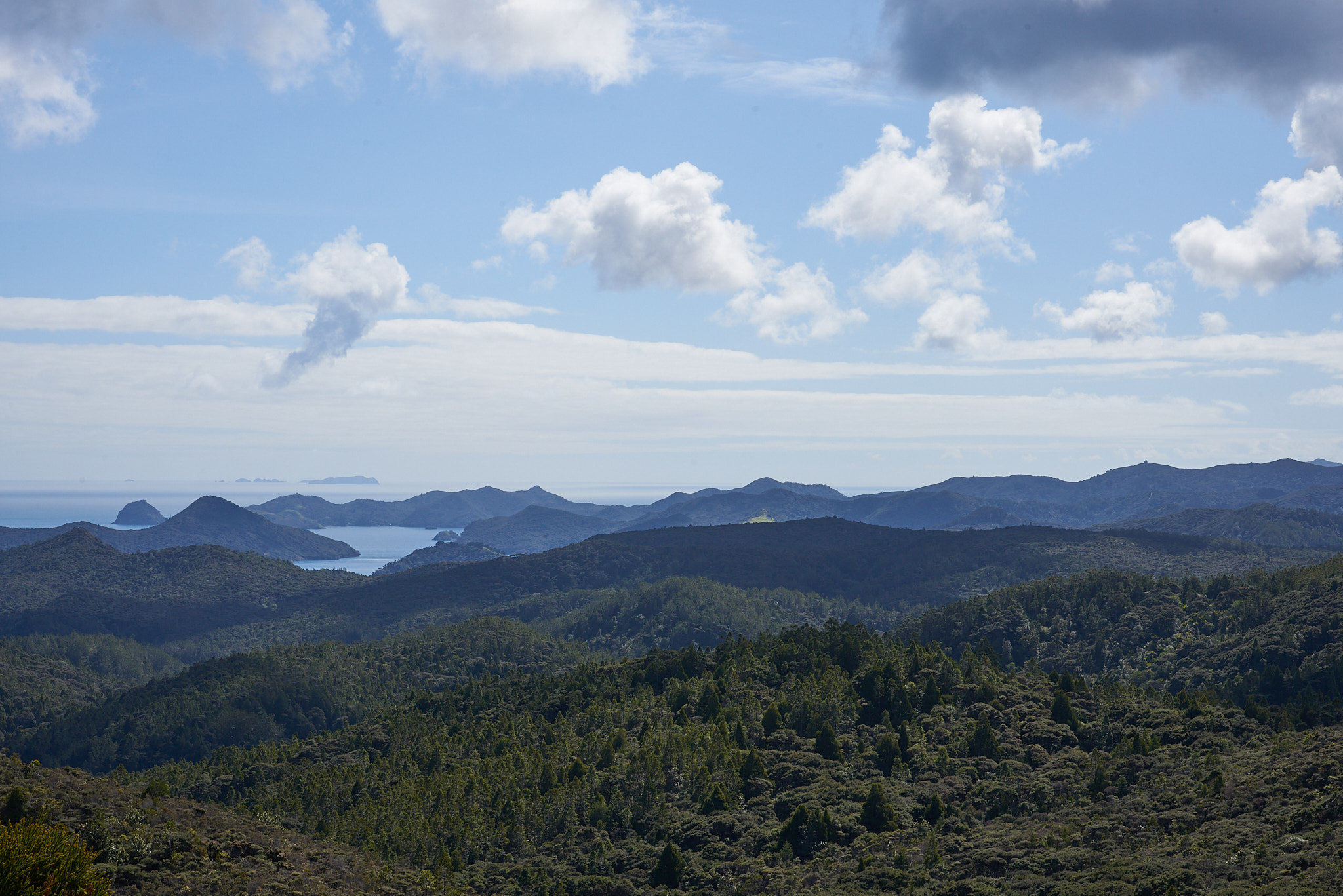
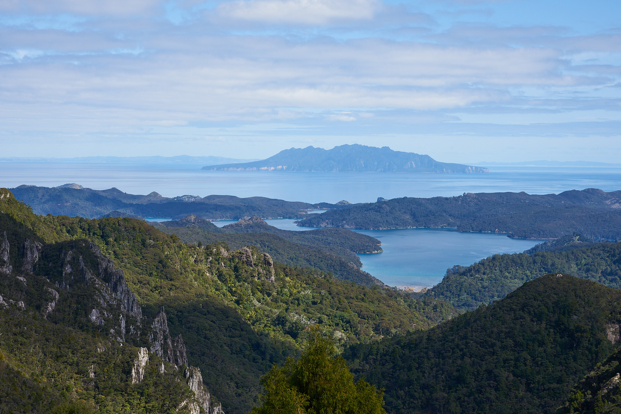
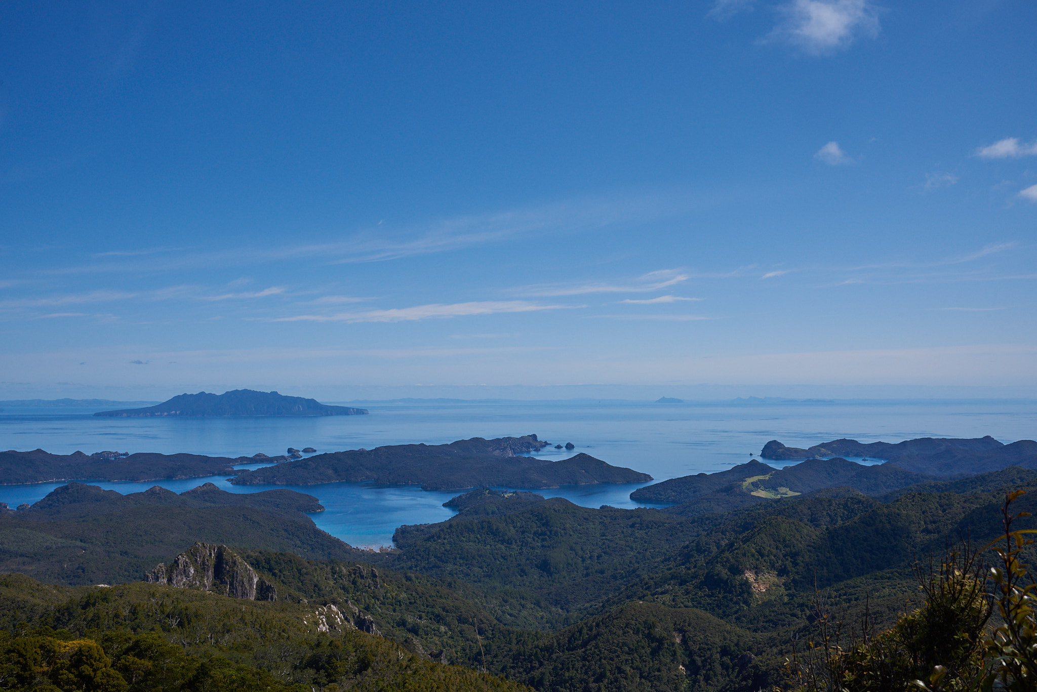
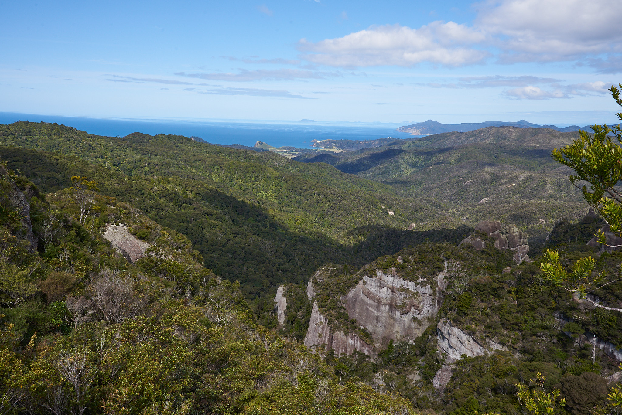
Once we got higher up, the views opened up.
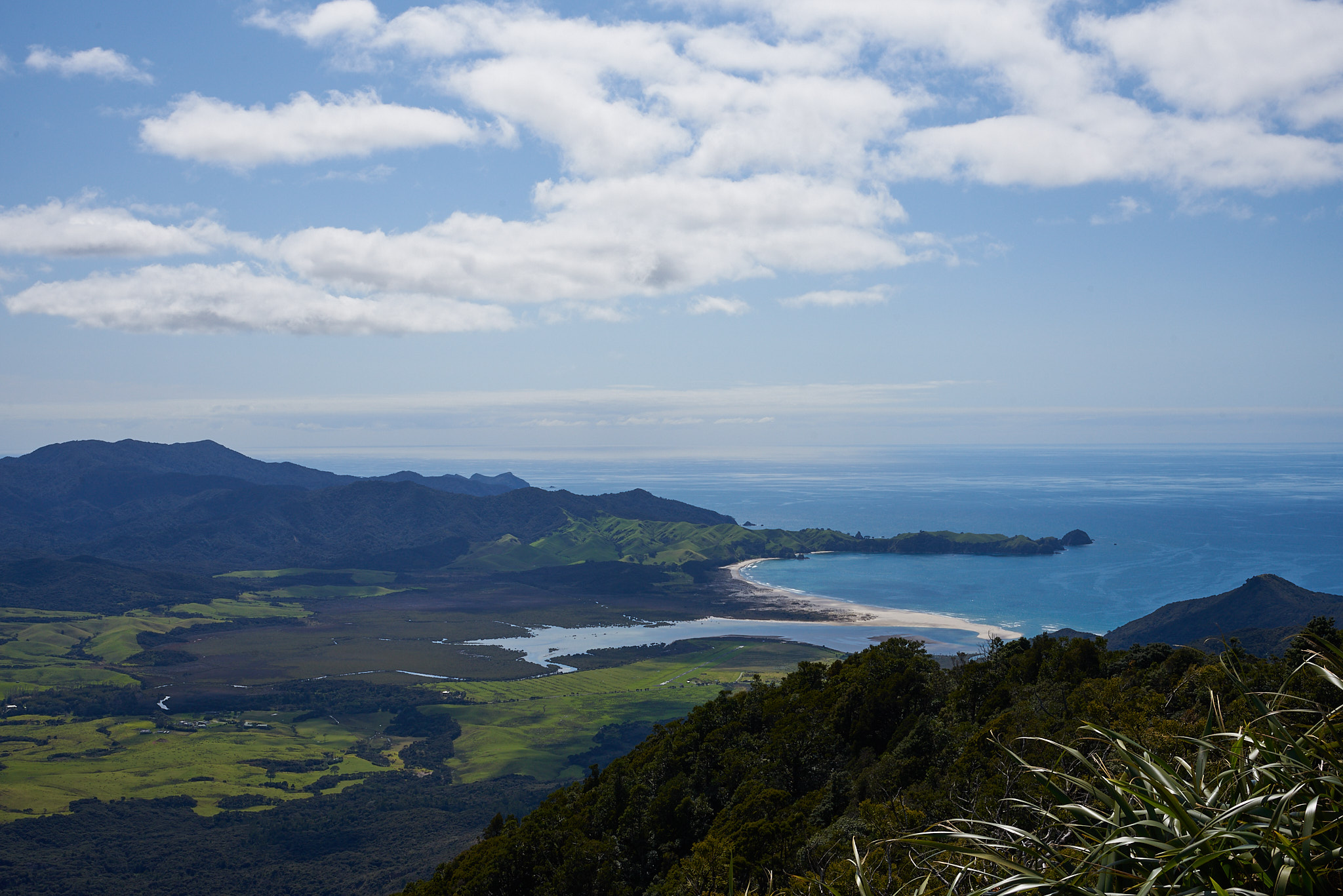
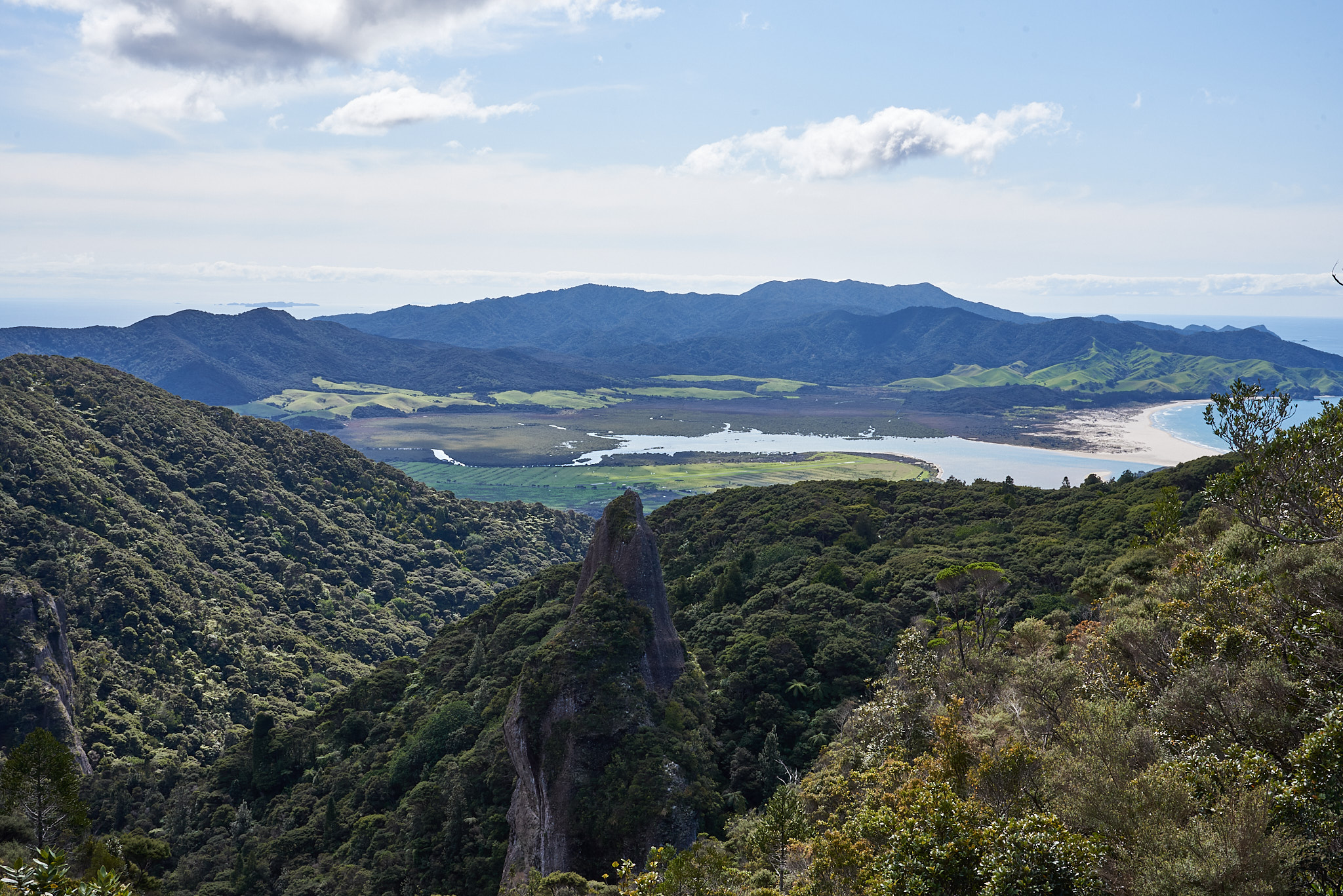
And once we reached the top …
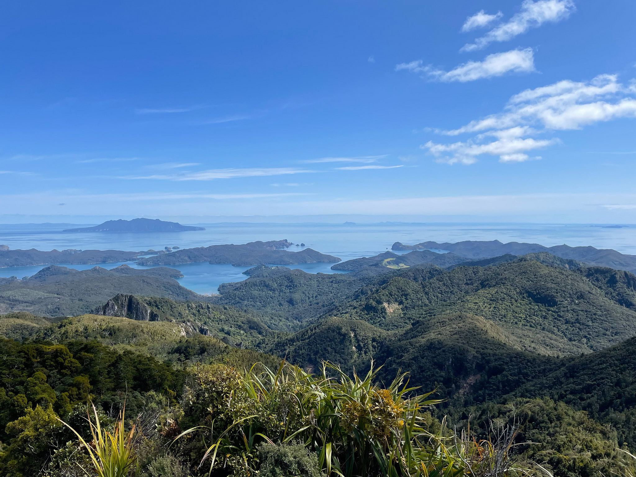
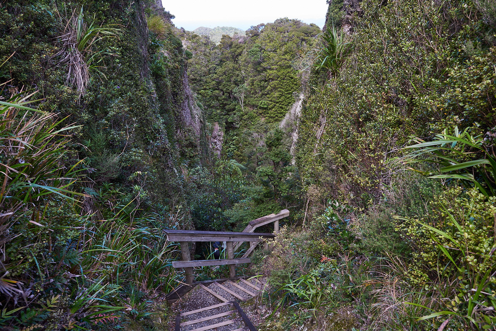
As if we did not have enough stairs, 3 of us decided to take a detour to Windy Canyon, for another couple of hours of stairs, totally worth it!
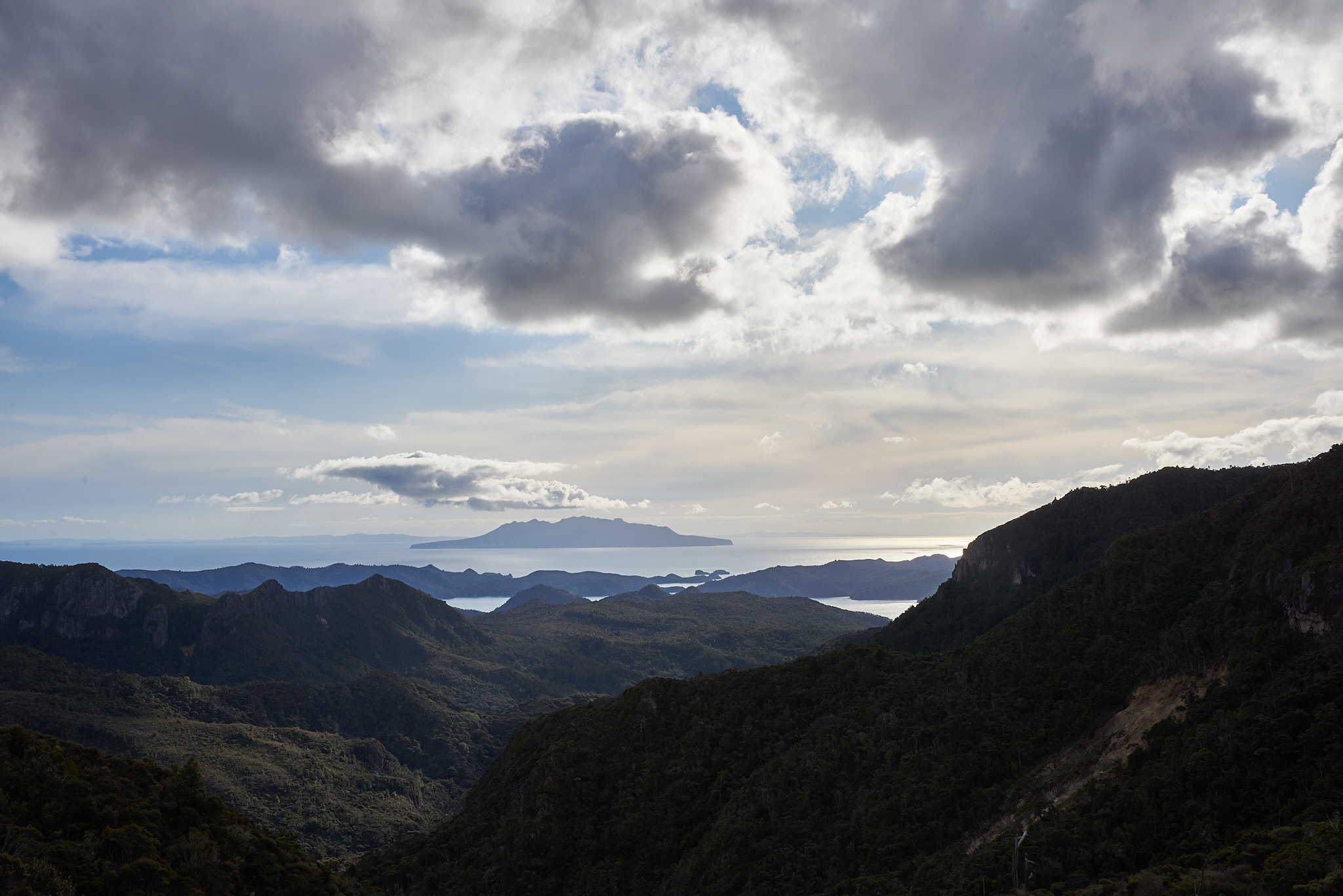
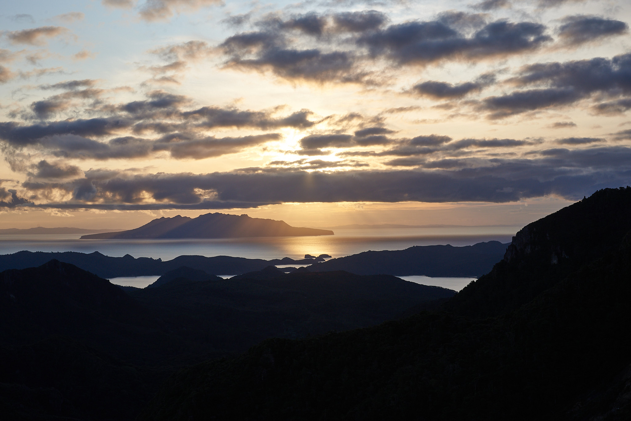
Finally, we reached the hut, in time to cleanup and enjoy the sun setting over Little Barrier Island.

On the last day, we just had to get down to the aerodrome. While for the first two days the sun shined on us, the weather started cloudy, and by the time we got to town it started raining. There were a few drops on the track, but that did not stop us enjoy the Kaitoke hot springs. After three days of sweating, cleaning up in a hot spring was more than welcome.
And finally, back home on the Cessna. And this time, I had a first class view for the landing.