A walk around the neighborhood
Călin / 04 September 2022
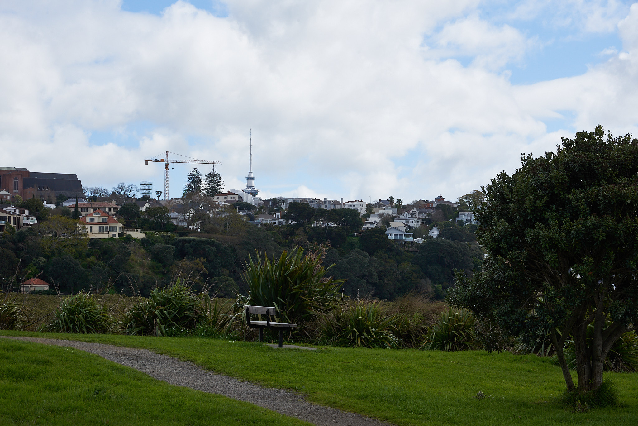
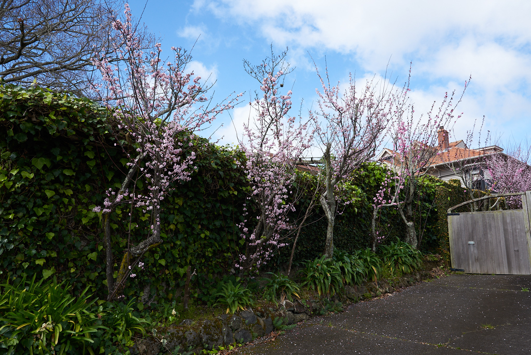
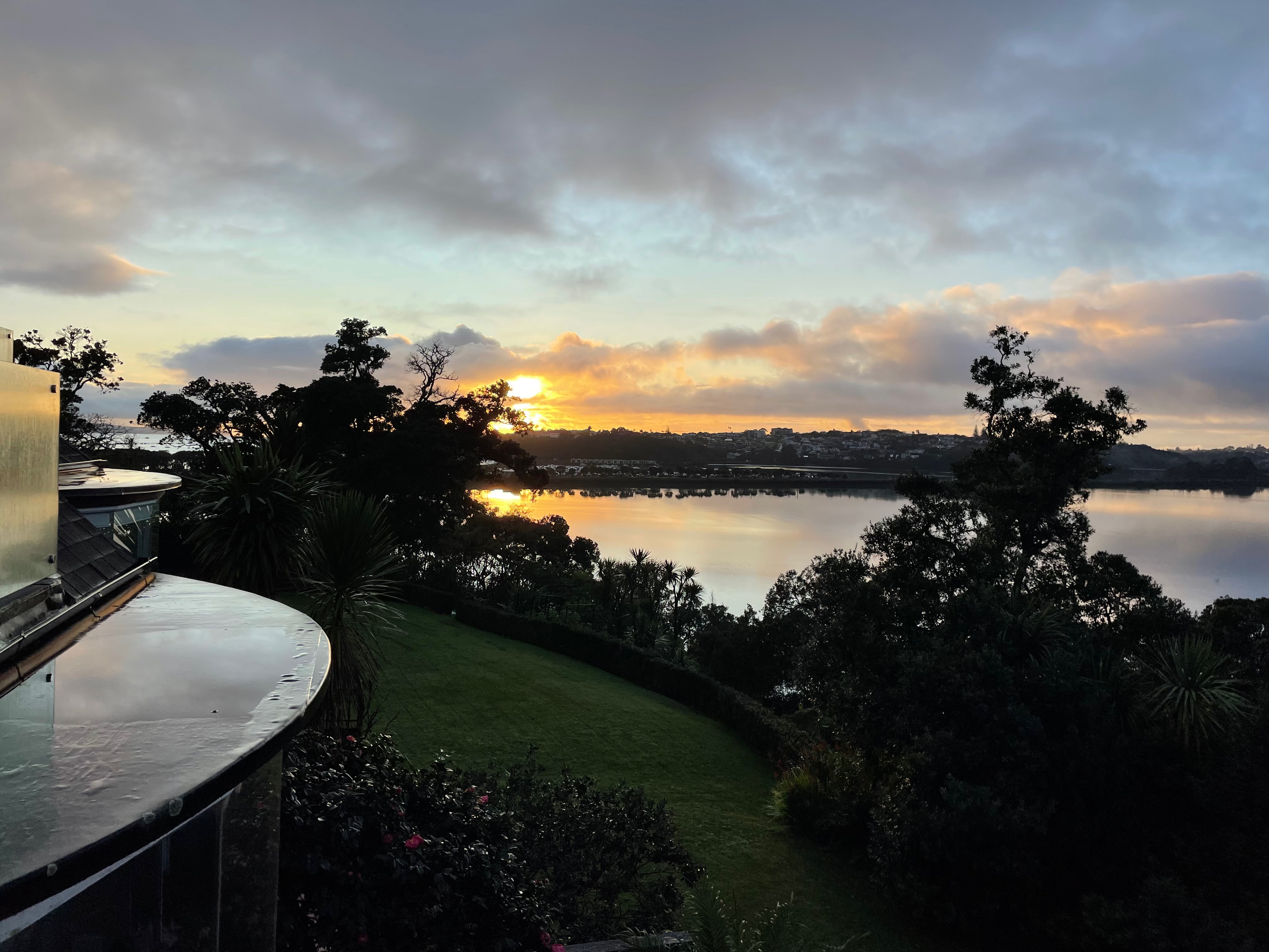
Everyday we marvel at the beauty right outside our windows.
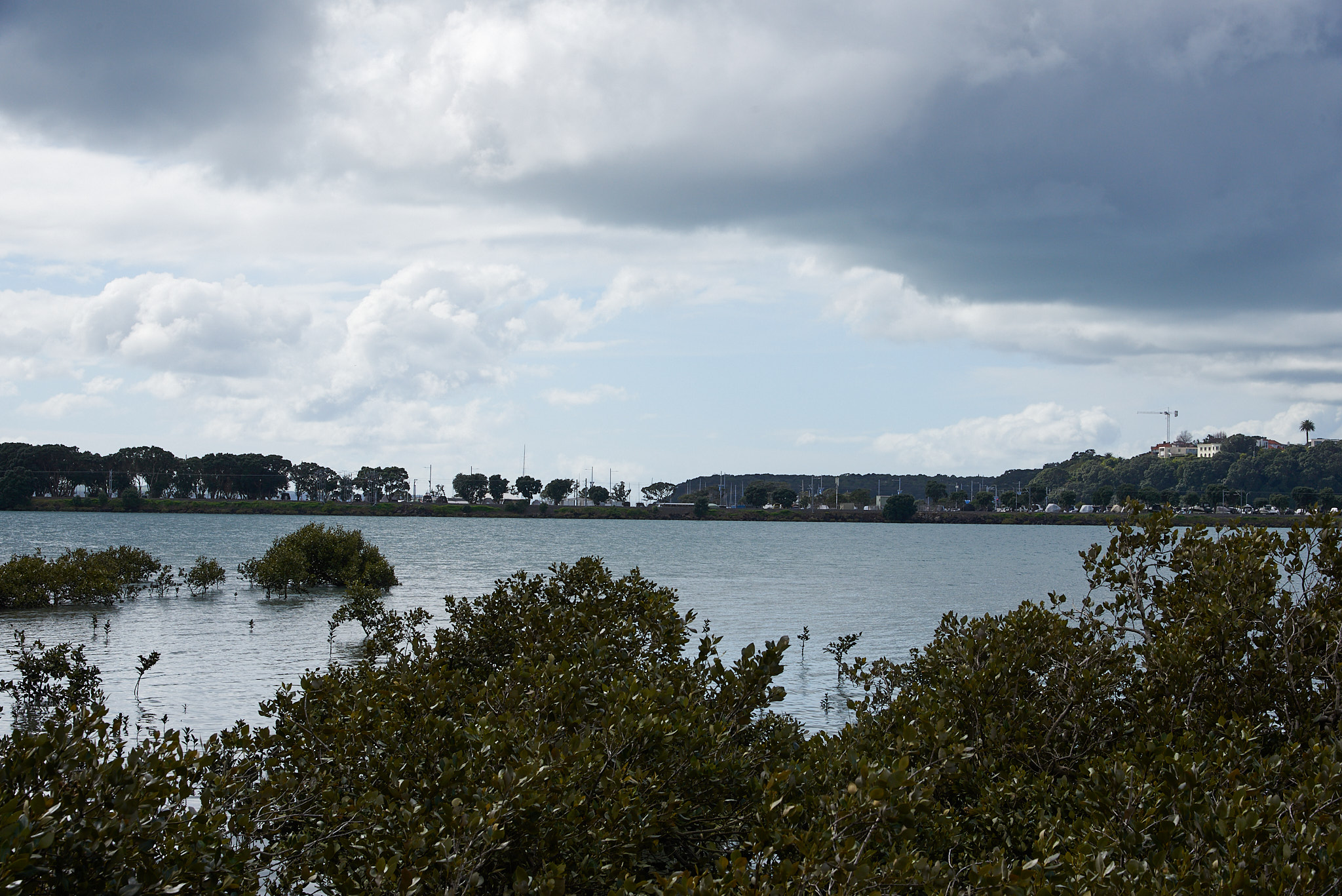
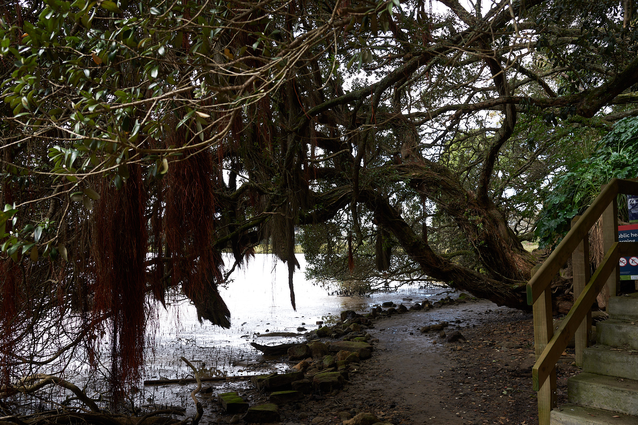
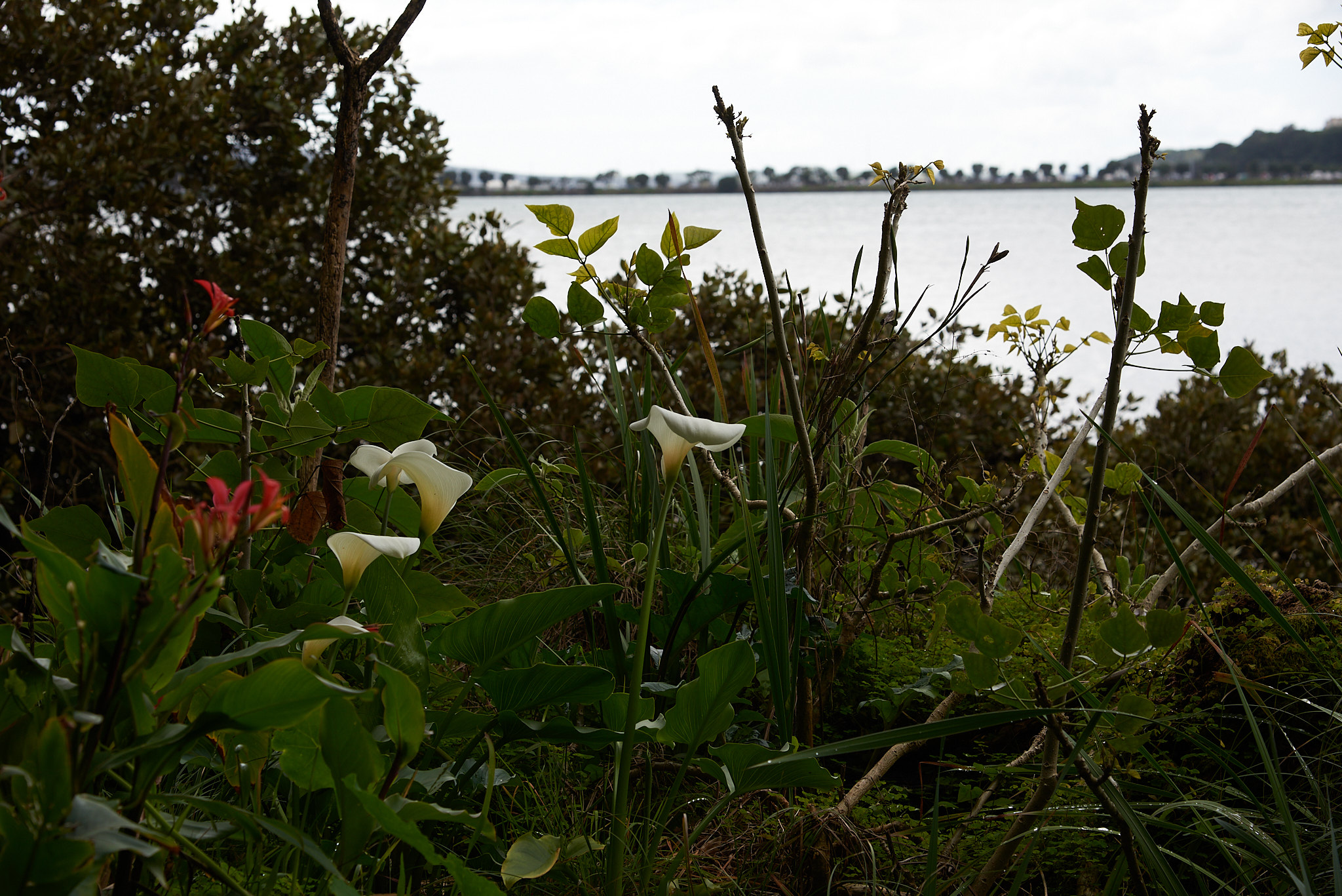
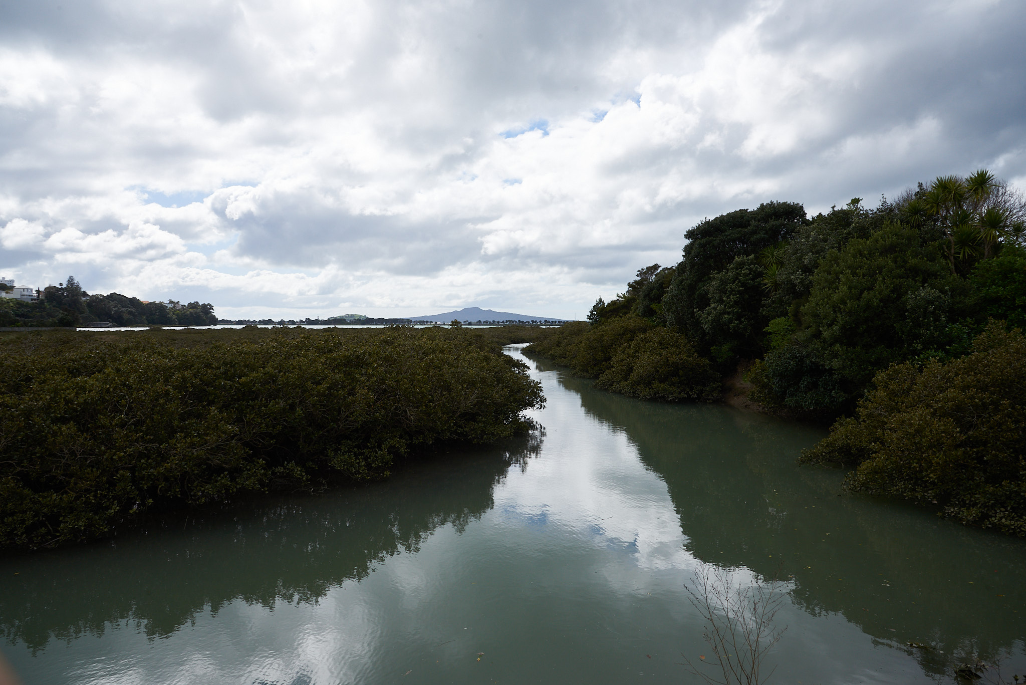
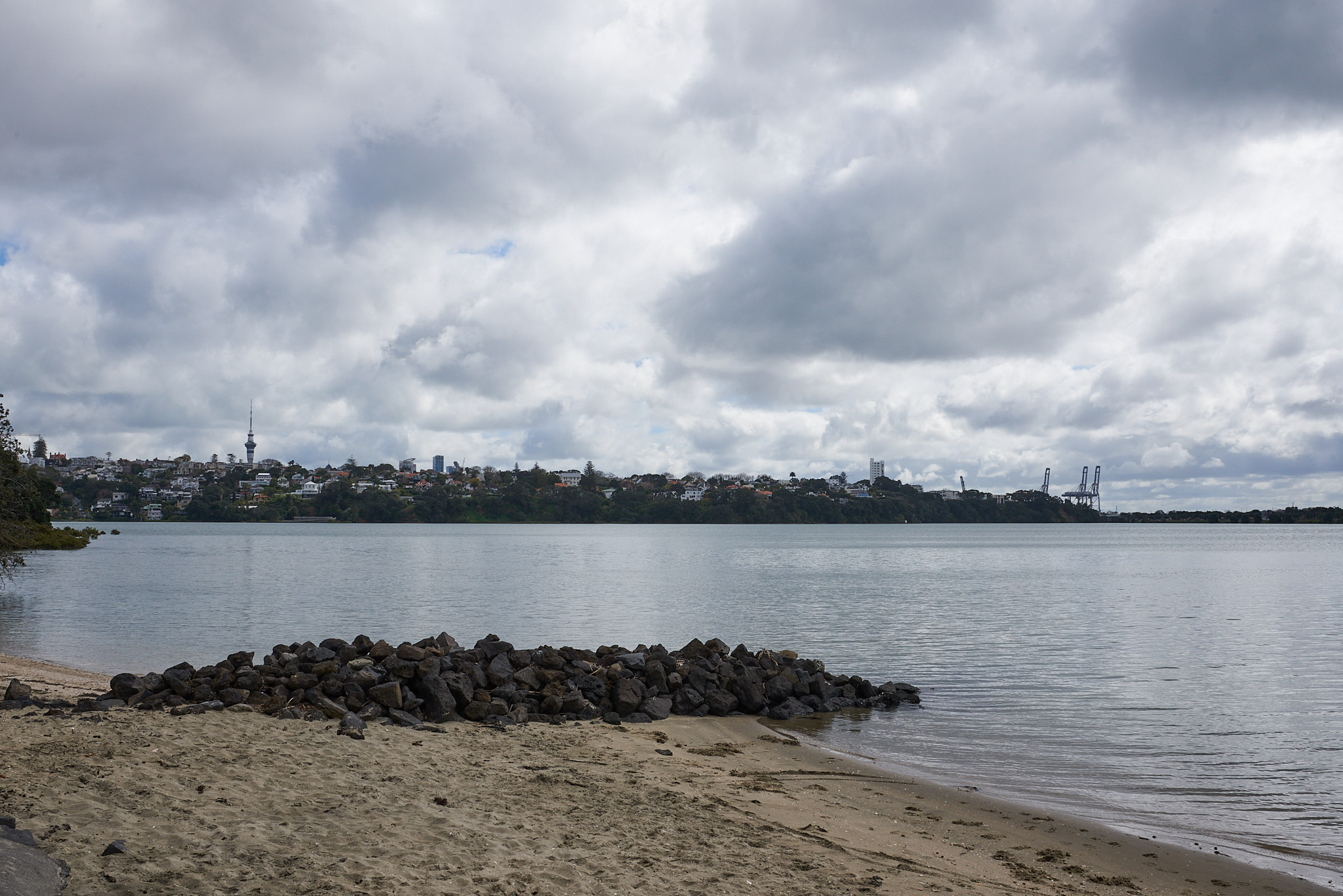
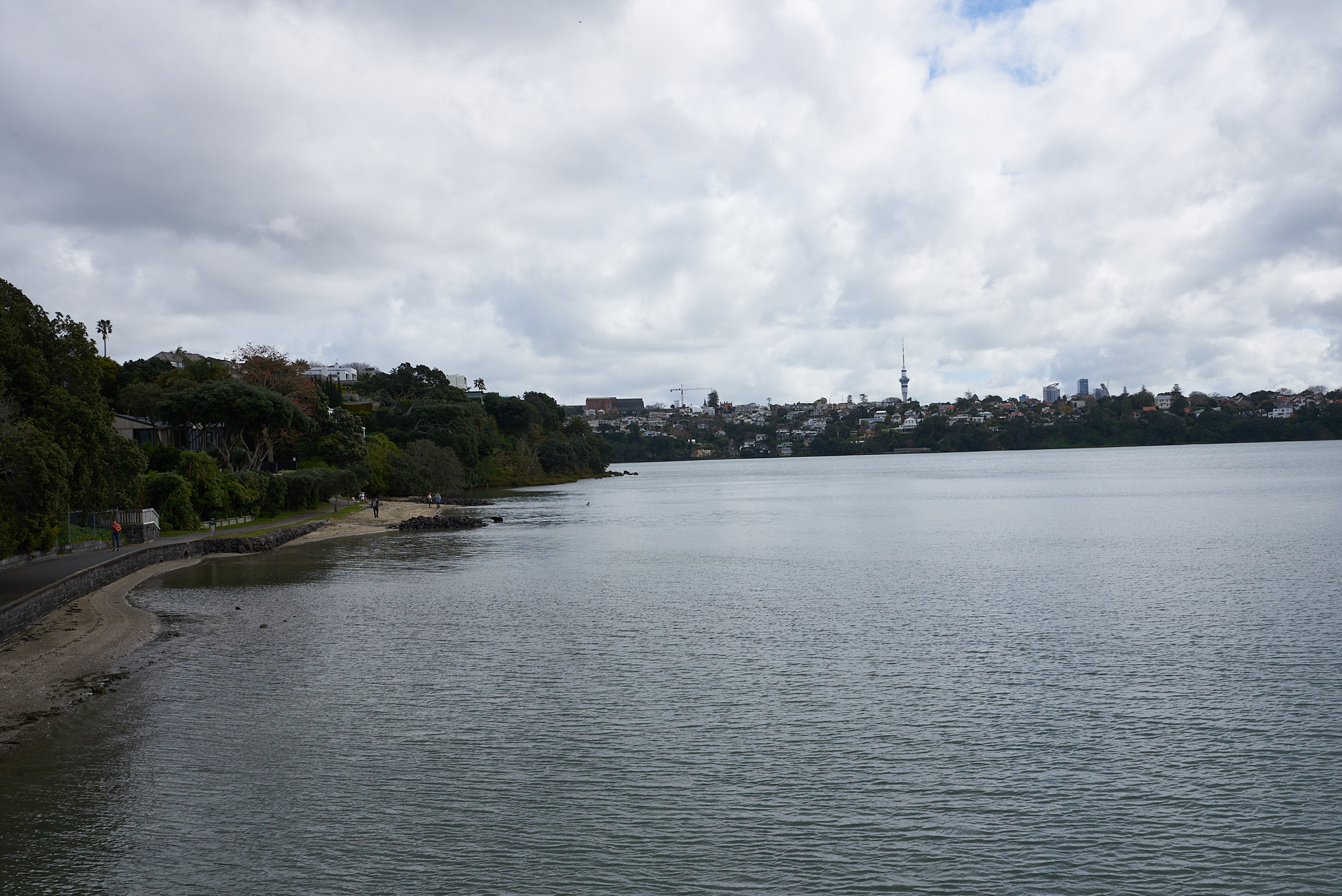
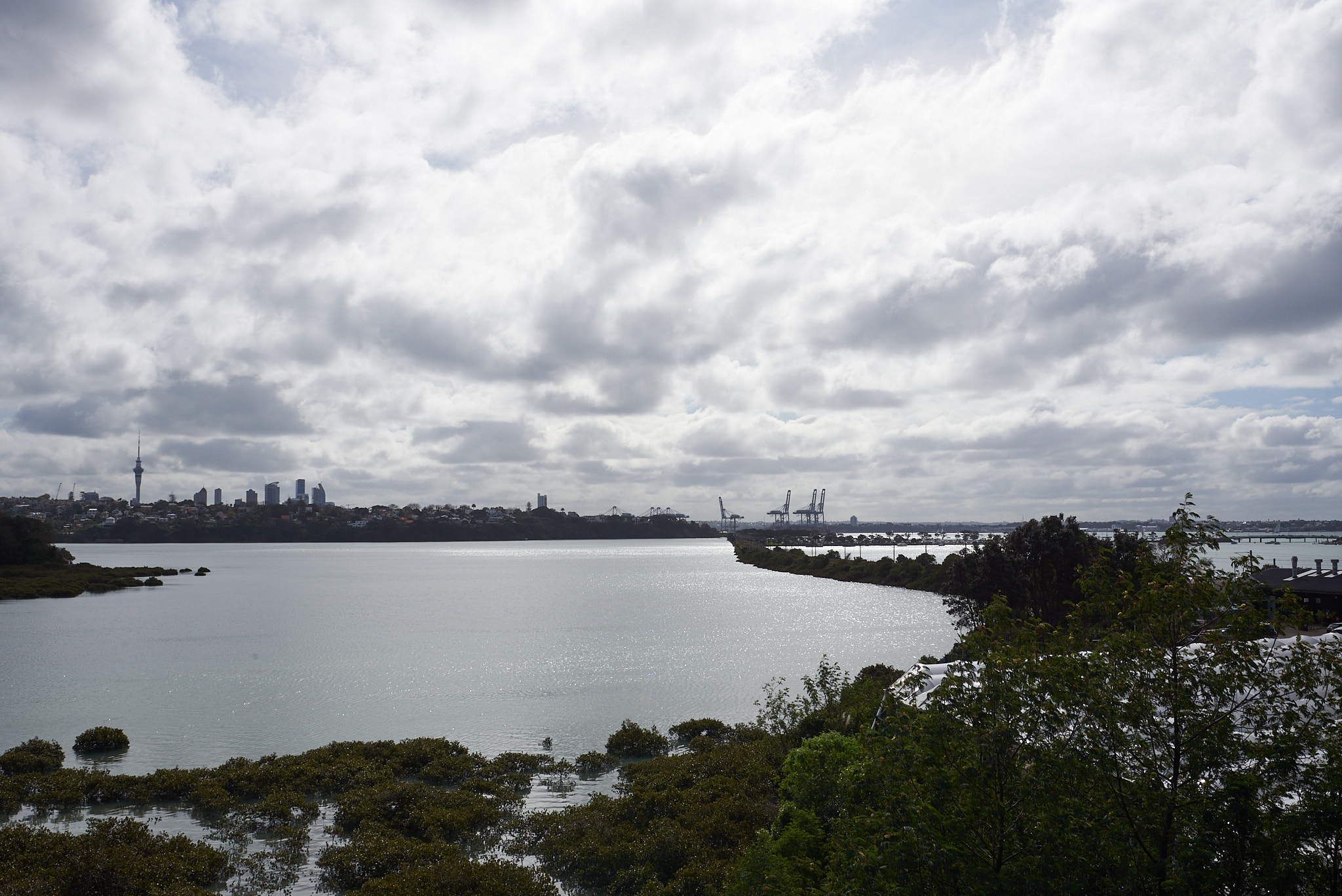
And so today we decided to explore our neighboring bay, Waitemata (Hobson) Bay. There is a walkway all around the bay, with some very nice views of the water, neighborhoods, mangroves, flowers and birds. Hobson Bay West Path starts right below our house and meanders very close to the water.
The bay was named after William Hobson, the first governor of New Zealand and is now recovering from being “civilized”. Maori lived in harmony with the land for hundreds of years. Around 1840s, the Parnell and Remuera neighborhoods started to build up. In 1914 sewer pipelines were built, cutting across the bay. Later, the eastern railway track and Tamaki Drive were built to cross the bay and significanly reduced the distance between Mission Bay and Central Auckland. In 2002, the sewer lines were replaced with a tunnel, allowing the bay fauna and flora to start recovering.
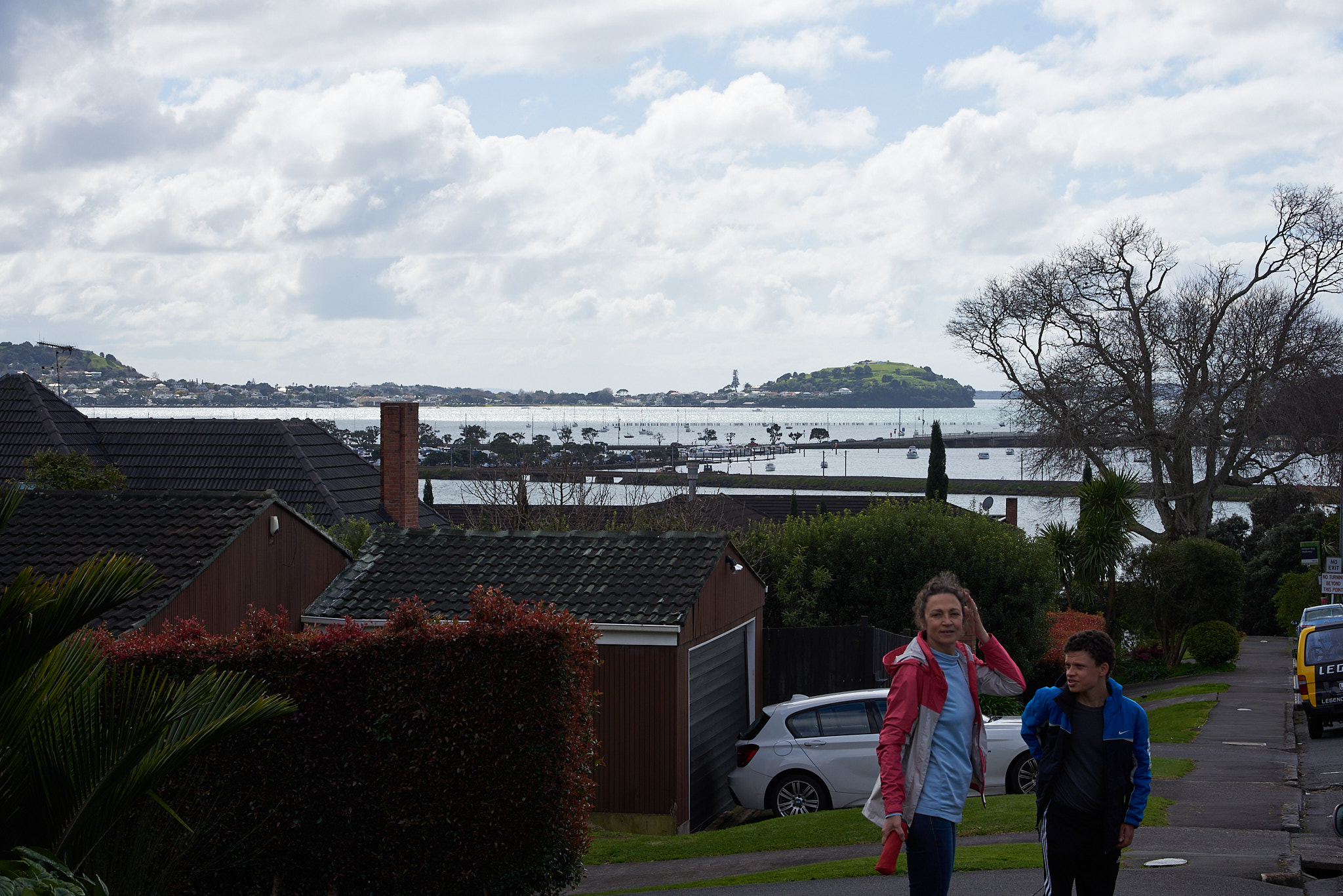
The views are quite spectacular. The Rangitoto island (and volcano) dominates the mouth of the bay.
On the East side of the path starts at Wilson’s beach with views of the downtown all the way to Orakei, where we had a nice lunch before turning back.
The city is just a step a way from the wilderness.
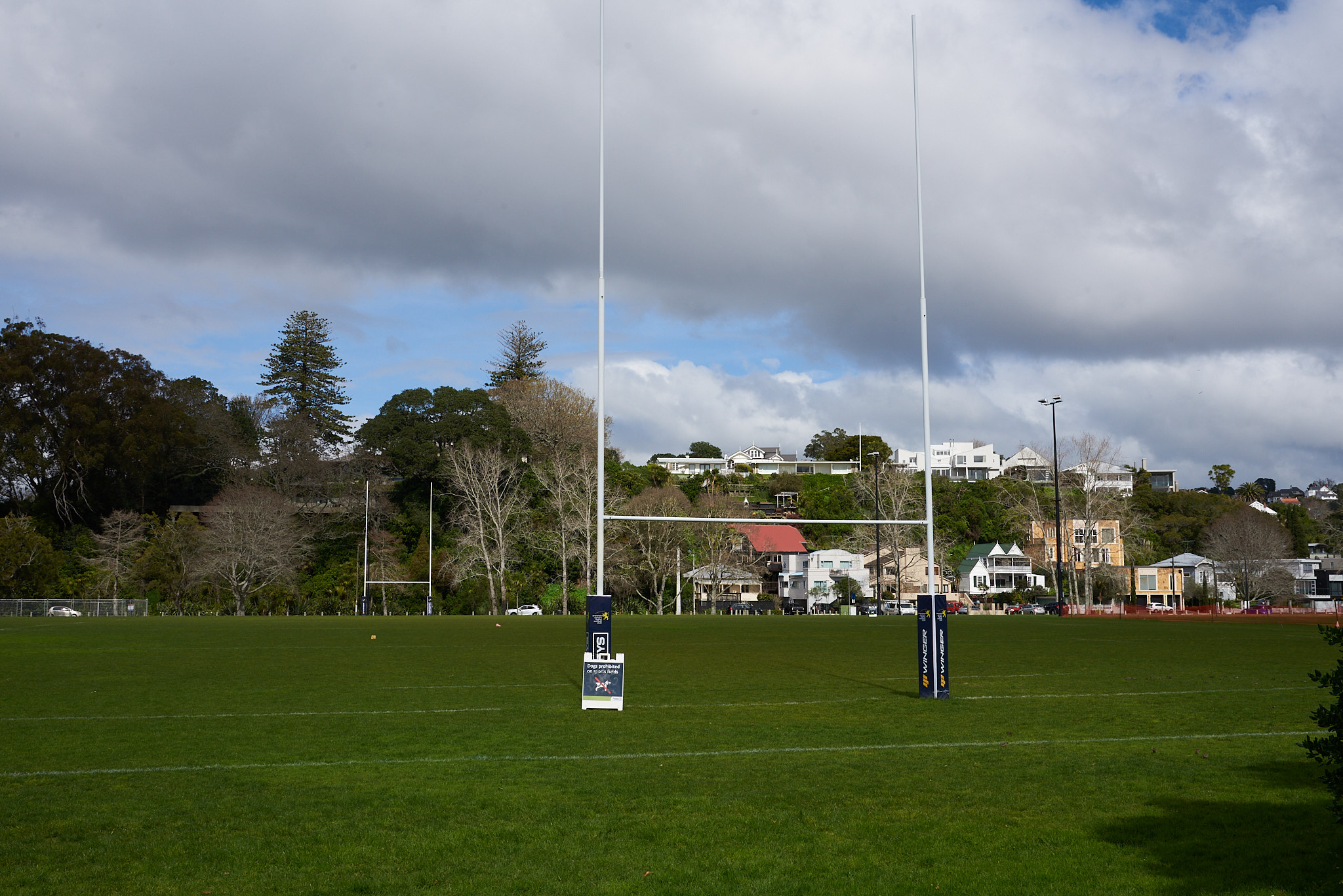
Parks, flowers, and the ever-present rugby goal posts dot the landscape.